
The founding of «Free Queendom of Lilith» last 1st May is completely legitiate and legal.
As we can see in the work «Historia del Deslinde de la Frontera Hispano-Francesa: Del tratado de los Pirineos (1659) a los tratados de Bayona (1856-1868)» ( Joan Capdevila i Subirana, 2009), the border between Spain and Andorra is not officially defined. Although an agreement defining that border was signed in 1856 (during the reign of Isabella II of Spain) it ultimately never entered into force, because France handled Andorra’s international representation and refused to sign the agreement.
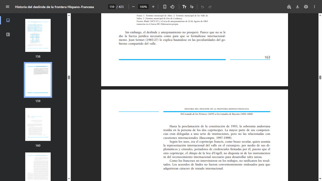
Therefore, the border between Spain and Andorra is not yet officially defined. Consequently, the official maps of each state will define the territory of each country.
SPAIN
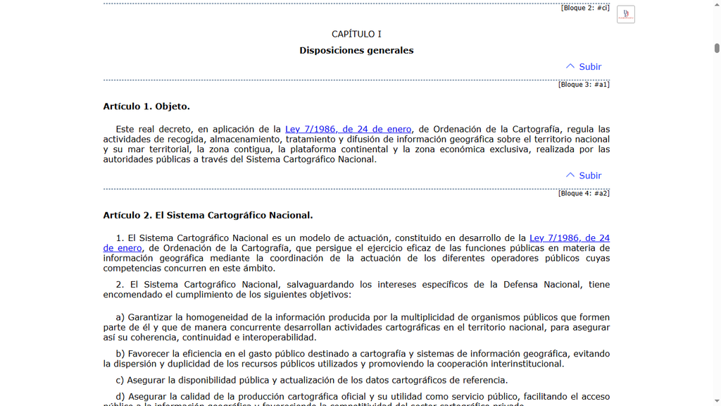
En España, de acuerdo con el «Real Decreto 1545/2007» of november 23, maps produced by the «Instituto Geográfico Nacional» hold legal validity; by being registered in the «Registro Central de Cartografía«, these maps acquire the status of official State cartography.
ANDORRA
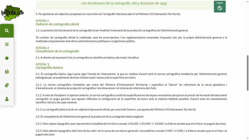
In Andorra, according to the «Llei d’Ordenació de la Cartografia» in its first article, the cartography carried out by the «Administració General» has the character of «official cartography».
Since IDE Andorra (Infraestructura de Dades Espacials d’Andorra) reports directly to the «Govern d’Andorra» through its official mapping services, it does indeed belong to the «Administració general».
Decrete «Decret 300/2021, del 22-9-2021» defines the «IDE Andorra» as:
«L’IDE Andorra (Infraestructura de Dades Espacials d’Andorra) és una base de geoinformació governamental, en format web accessible per a tothom, i de caràcter gratuït. Com a exemple, des de l’IDE Andorra qualsevol ciutadà pot descarregar, de forma immediata i gratuïta, plànols de cartografia oficial, mapes oficials de zonificació de riscos naturals, fotos aèries, plànols de plans sectorials aprovats pel Govern, etc.»